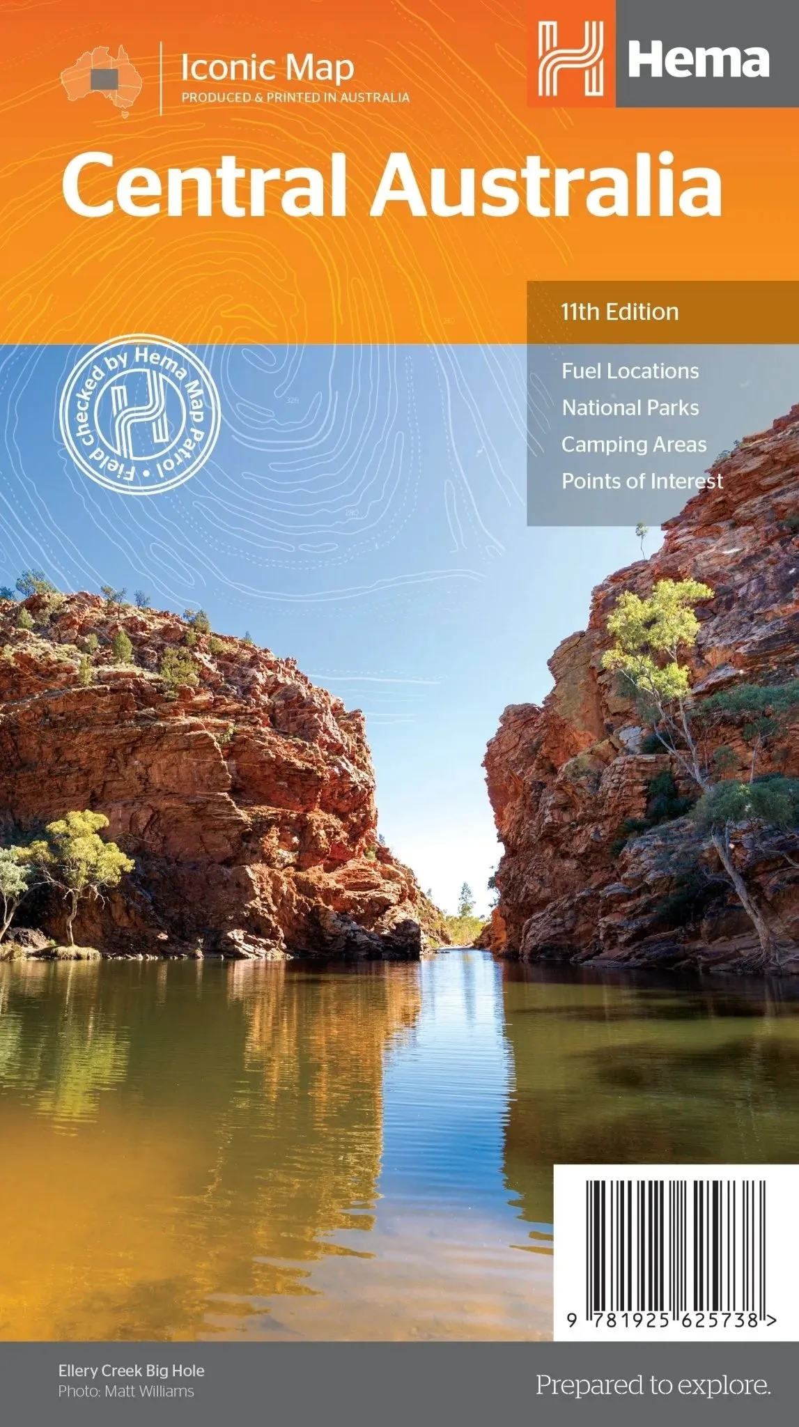
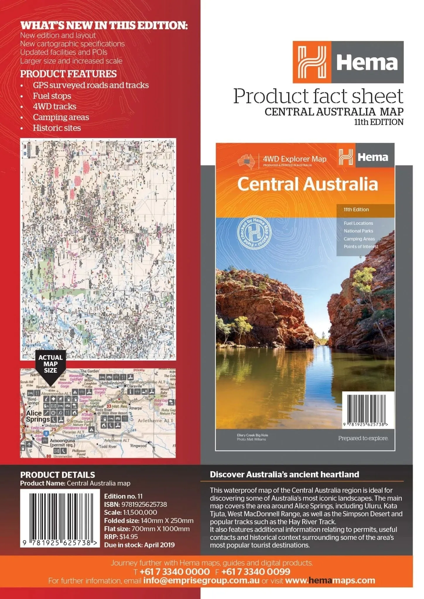
Central Australia Map 11th Edition
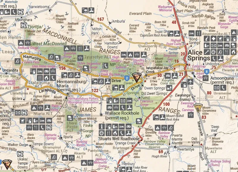
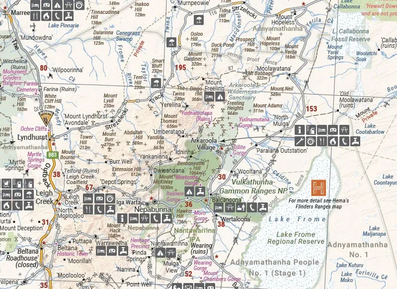
Discover the awe-inspiring landscapes of Central Australia with the 11th edition map. This comprehensive map spans the iconic regions surrounding Alice Springs, including Uluru, Kata Tjuta, the West MacDonnell Range, and the Simpson Desert. Designed for adventurers, it details tracks like the Hay River Track and provides essential information for a safe and enriching journey.
Features
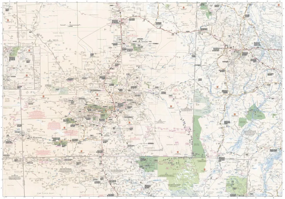
- Detailed coverage of Central Australia, including Alice Springs, Uluru, Kata Tjuta, and Simpson Desert.
- GSP surveyed roads and 4WD tracks for accurate navigation.
- Indigenous area details, including permit requirements.
- Highlights fuel stops, camping and rest areas, and points of interest.
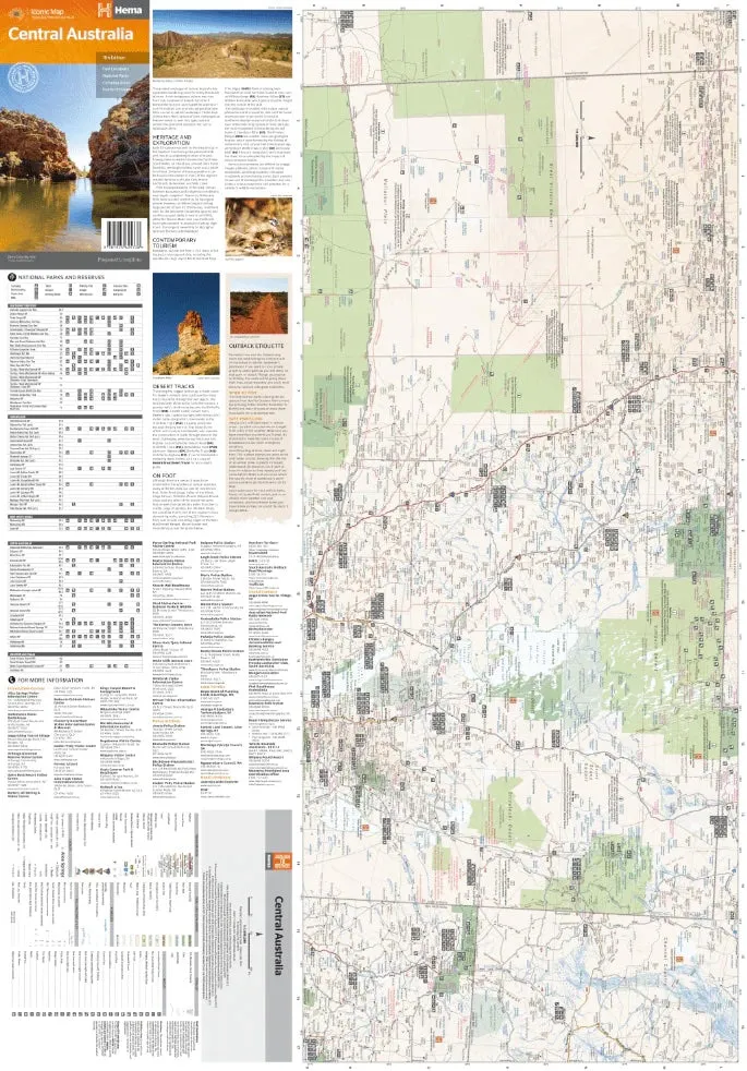
- Comprehensive table of National Parks and Reserves with facilities such as toilets, showers, camping, and BBQs.
- Information on Central Australia’s heritage, exploration, tourism, and desert tracks.
- Reverse side includes a listing of Information Centres with addresses and contact details.
Specifications
- Edition: 11th
- Publication Date: 15/04/2019
- Scale: 1:1,500,000
- Folded Size: 140mm x 250mm x 2mm
- Flat Size: 700mm x 1000mm
- Weight: 0.07kg
Central Australia is a region of unparalleled beauty, home to iconic landmarks and rich cultural heritage. Whether you're exploring the red sands of the Simpson Desert or marvelling at Uluru, this map ensures you have all the tools to experience the heart of Australia with confidence.


")


